

Introduction:
Maps are more than just navigational aids; they are windows into history, offering a visual narrative of the past. One of the most pivotal moments in American history is the Revolutionary War, a conflict that reshaped the destiny of a nation. In this guest post, we delve into the rich tapestry of the US Revolutionary War through maps curated from the map archive, unveiling the strategic maneuvers, battles, and shifting alliances that defined this era.
I. The Prelude to Revolution:
Before the first shot was fired at Lexington and Concord in 1775, tensions between the American colonies and the British Empire had been simmering for years. Explore maps depicting the colonial landscape, highlighting key events such as the Boston Tea Party, the Intolerable Acts, and the First Continental Congress. Witness the geographical divisions and political sentiments that laid the groundwork for rebellion.
II. Mapping the Conflict:
As hostilities erupted into open warfare, maps became indispensable tools for military strategists on both sides. Trace the campaigns of the Revolutionary War through detailed maps showcasing troop movements, battles, and sieges. From the iconic Battle of Bunker Hill to the decisive Battle of Yorktown, each map unveils the ebb and flow of the conflict, revealing the triumphs and tribulations of revolutionary forces.
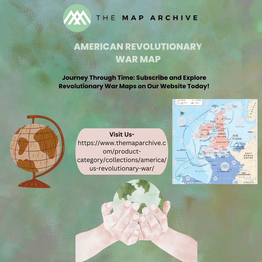
III. Foreign Interventions and Alliances:
The Revolutionary War was not just a domestic affair; it drew international attention and involvement. Explore maps illustrating the role of foreign powers such as France, Spain, and the Netherlands in supporting the American cause. Witness how alliances and diplomatic maneuvers reshaped the geopolitical landscape of the era, ultimately tipping the scales in favor of the fledgling United States.
IV. Mapping the Westward Expansion:
While the Revolutionary War secured independence for the original thirteen colonies, it also set the stage for westward expansion. Delve into maps depicting the evolving frontier, from the Appalachian Mountains to the Mississippi River. Trace the territorial disputes, Native American alliances, and pioneer settlements that shaped the contours of the nascent nation.
V. Legacy and Commemoration:
Centuries may have passed since the guns fell silent, but the legacy of the Revolutionary War endures in the collective memory of the American people. Explore maps showcasing historic sites, monuments, and commemorative events dedicated to preserving this pivotal chapter in national history. From the hallowed grounds of Valley Forge to the soaring heights of the Statue of Liberty, each map is a testament to the enduring spirit of liberty and independence.
Setting the Stage: The US Revolutionary War was a complex saga that unfolded across vast expanses of land, from the shores of New England to the southern colonies. To truly understand the dynamics of this conflict, one must first grasp the geographical landscape that served as its backdrop. The US Revolutionary War Map from The Map Archive offers a comprehensive overview, allowing us to visualize the strategic importance of key locations and the movements of armies.
Tracing the Campaigns: As we navigate through the map, we are transported back to the heart of battle, where armies clashed and destinies were forged. From the opening salvos in Massachusetts to the final showdown at Yorktown, each campaign is meticulously charted, offering insights into the ebb and flow of the war. With a click of a button, we can follow the Continental Army’s daring march across the Delaware or witness the British advance through the southern colonies.
Understanding Strategic Significance: One of the map’s most compelling features is its ability to highlight the strategic significance of various locations. Whether it’s the crucial waterways of the Hudson River or the mountain passes of the Appalachian Mountains, each terrain played a pivotal role in shaping the course of the war. By overlaying troop movements with geographical features, the map provides a nuanced understanding of the challenges faced by commanders on both sides of the conflict.
Exploring Historical Context: Beyond the battlefield, the US Revolutionary War Map offers a window into the broader socio-political landscape of the time. By overlaying demographic data, economic resources, and political boundaries, it paints a rich tapestry of colonial America on the brink of revolution. Users can explore the divergent interests of the thirteen colonies or delve into the intricate web of alliances that shaped the course of history.
Preserving Cultural Heritage: In addition to its historical insights, the US Revolutionary War Map serves as a testament to the enduring legacy of the American Revolution. Through meticulous research and cartographic expertise, The Map Archive has preserved a vital piece of our cultural heritage for future generations. Whether you’re a scholar, a student, or a history enthusiast, this map offers a unique opportunity to engage with the past in a meaningful way.
Conclusion:
The US Revolutionary War was a defining moment that forged a nation out of a disparate collection of colonies. Through the lens of maps from the archive, we have journeyed through the tumultuous years of conflict, witnessing the courage, sacrifice, and resilience of those who fought for freedom. As we reflect on the past, let us remember that the truest maps of history are not merely ink on paper; they are the stories of ordinary men and women who dared to defy tyranny and chart their own course toward liberty.


